Read against the applicant’s own submitted documents — Planning Statement, Green Belt Assessment, the Council’s published pre-application advice, and the heritage, flood, transport, noise, air quality, ecology and landscape reports. The housing shortfall is real; the case fails elsewhere.
Golden Rules — affordable housing
DecisivePlanning Statement 10.4 / pre-app advice
Claim: 40% affordable housing described as “significantly policy compliant” and compliant with the Golden Rules.
Why it fails: The Council’s own pre-application advice says 50% is required (Core Strategy CP3 40% + 15pp, capped at 50%) and records the applicant agreeing to it. The offer was cut by 10 percentage points before submission, so NPPF para 155(d) is not met and “not inappropriate” grey belt status falls away.
Grey Belt status — scheduled monument
DecisiveGreen Belt Assessment 6.6 / Cultural Heritage Assessment
Claim: The scheduled monument (NHLE 1006944, probable Bronze Age barrow) inside the site is “a design opportunity rather than an obstacle to development”.
Why it fails: Footnote 7 assets are excluded from the grey belt definition where their policies give a strong reason to refuse or restrict. National policy gives great weight to designated heritage assets and treats harm to scheduled monuments as requiring wholly exceptional justification. The report never performs that test.
Grey Belt status — flood risk
DecisiveFlood Risk Assessment 6.3.2–6.3.3, 9.2.2
Claim: Flood Zone 1, majority very low surface water risk; no sequential test needed under the para 175 exception.
Why it fails: The FRA’s own mapping shows a High-risk surface water flow path through the centre of the site and a “low to high risk” pooling area at the southern access. The para 175 exception requires no built development or access route in an area at risk from any source, so the exception is not made out and “areas at risk of flooding” is a second footnote 7 trigger.
Very Special Circumstances
StrongPlanning Statement 4.10, 9
Claim: Housing land supply of 0.91 years in the South Planning Area amounts to VSC clearly outweighing Green Belt harm.
Why it fails: Benefits are listed but harm is never weighed: loss of openness (Samuel Smith), encroachment on countryside — purpose (c) is deliberately not assessed — admitted permanent moderate adverse visual effects, heritage setting harm, and noise/air burdens on future occupants (“any other harm”, Redhill Aerodrome). Officers already advised housing delivery alone is unlikely to suffice.
Development plan compliance
StrongPlanning Statement 10.1
Claim: The proposal “is in accordance with the Development Plan read as a whole”.
Why it fails: The same statement accepts the scheme is inappropriate development in the Green Belt requiring VSC. It cannot be both. No development plan policy is identified that supports the principle of development here, and the Ivers Neighbourhood Plan makes no allocation.
Brownfield claim
StrongPlanning Statement 4.10
Claim: The site has “previously developed (brownfield) characteristics”.
Why it fails: Contradicted three ways: the applicant’s own Green Belt Assessment (“greenfield site … open agricultural land”), officer pre-app advice (“the land is not previously developed land”), and the heritage map regression showing continuous agricultural use.
Archaeological evaluation
StrongCultural Heritage Assessment; pre-app advice
Claim: Trial trench evaluation “would likely” follow after consent; the monument will sit in open space with no impact.
Why it fails: Policy requires field evaluation before determination where sites include archaeological assets; officers asked for trenching at pre-app and none has been submitted. 2018 geophysics (from another project) shows further ditched enclosures. Neither the Council nor Historic England can know what permission would commit to disturbance.
Traffic and junction capacity
StrongTransport Assessment (Pell Frischmann)
Claim: Net increase of only 15 AM / 9 PM vehicles once traffic is netted off a consented 250-space station car park; assessment limited to the site access.
Why it fails: The car park consented in 2017 has never been built, its rationale is overtaken by the Elizabeth line, and a live application proposes the parking elsewhere — a fallback needs a real prospect of implementation (Mansell). Strip the netting and c.960 daily movements have never been modelled at any junction beyond the access. Distribution uses 2011 Census data.
Noise and living conditions
StrongNoise Assessment (Inacoustic)
Claim: Acceptable internal conditions achievable with enhanced glazing, alternative ventilation, bunds and orientation controls.
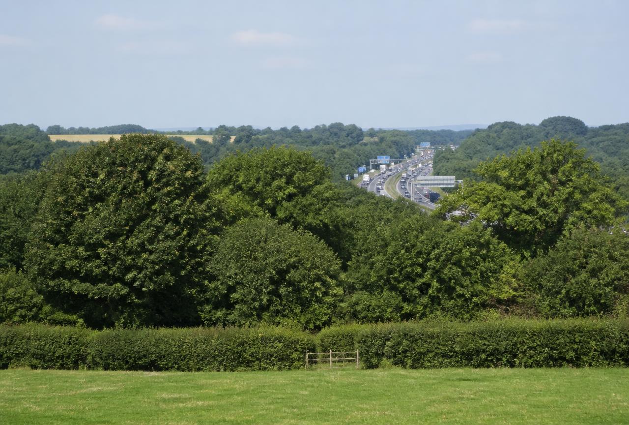
Why it fails: Homes hemmed by the M25, the Great Western Main Line and Thorney Lane South can only meet standards with windows shut. Gardens and play space cannot be glazed — external amenity guidelines are conceded as not always achievable. All of it depends on layout and glazing fixed at reserved matters, not by this permission.
Air quality
SupportingAir Quality Assessment (RSK)
Claim: NO₂ c.25 µg/m³ at the M25 boundary, all objectives met in 2030; impacts negligible.
Why it fails: Site monitoring was too short to be used for formal verification; the model was verified against three roadside urban tubes, not motorway-edge receptors. Compliance in 2030 assumes national fleet improvements. Modelled PM2.5 of 9–10 µg/m³ is roughly double the WHO 2021 guideline — legal compliance is not healthy placemaking.
Ecology and biodiversity net gain
StrongPreliminary Ecological Appraisal (Cotswold)
Claim: Biodiversity net gain achievable; protected species adequately surveyed.
Why it fails: The BNG conclusion still reads “a x % gain” — no figure at all against a statutory 10% minimum. Bat activity work is recorded on a single June date against guidance expecting multiple seasonal visits; breeding birds on two. Red-listed starling and house sparrow recorded. Much of the claimed gain sits on the same land already counted as SuDS, monument buffer and open space.
Landscape and visual harm
SupportingLVIA (Highstone Design)
Claim: Effects reduce over time with planting; the site is unremarkable pasture.
Why it fails: It still admits moderate adverse visual effects at Year 1 and Year 15 for high-sensitivity residential receptors — permanent harm on its own terms, softened only by planting whose establishment is assumed. Written by the scheme’s own architects.
Independence of the evidence
SupportingGreen Belt Assessment & LVIA (Highstone Design)
Claim: The site “could reasonably be categorised as Grey Belt” and VSC exist.
Why it fails: The project architects assessed their own scheme, assert VSC in the introduction before any analysis, misstate the grey belt test, never assess Green Belt purpose (c), concede “a degree of sprawl” then discount it, and name the client inconsistently.
Multi-counted open space
SupportingMasterplan; pre-app advice
Claim: Generous green space, SuDS, ecological enhancement and monument setting all provided.
Why it fails: The same southern hectares are counted as Golden Rules green space, SuDS attenuation, biodiversity gain, play space and the monument buffer. Officers warned SuDS basins in open space “can severely reduce the recreational value of green space”.
Colne Valley Regional Park
SupportingCore Strategy CP9
Claim: Not mentioned anywhere in the Planning Statement or ecology report.
Why it fails: The site lies within the Colne Valley Regional Park, which the development plan requires to be conserved and enhanced. A designation the application simply ignores cannot have been weighed.
Missing and unresolved material
StrongPre-application matrix (every topic “Unresolved”)
Claim: The scheme has been through pre-application discussion.
Why it fails: No trial trenching, no sequential test, no BNG figure, no junction modelling beyond the access, and the draft s106 heads of terms are not among the 95 published documents. Two different pre-app references appear in the file, one for a 250–300 dwelling scheme. Officers concluded the scheme as submitted “would not yet be considered to be outweighed by the identified benefits”.